Infrastructure Overview
Road Networks
- 13,000 km Total Length of Roads
- 5 National Highways
- 1,156 km Total Length of National Highways
- 0.48 km/sq.km Road Density
- 4,800 km: Network of roads under implemented
- US$ 120 million project: A state transport modernization project signed by the Government of India, Government of Meghalaya, and the World Bank.

Infrastructure Overview
Air Connectivity
- Umroi Airport (Barapani Airport): 30 kilometers from Shillong
- Helicopter Service: Connecting Shillong to Guwahati and Tura
- Helipad at Baljek Airport near Tura
- Heliports Planned in Wahiajer, Resubelpara, Nongstoin, Mawkrywat, Dawki, Williamnagar, Nongpoh, Mairang, Ampati ,Baghmara and Khliehrait
- Guwahati Airport: 124 km from Shillong
- Total passenger traffic in 2021-22 at Umroi Airport: 62,824
- Aircraft movement (in number) in 2021-22 at Umroi Airport: 1,816

Infrastructure Overview
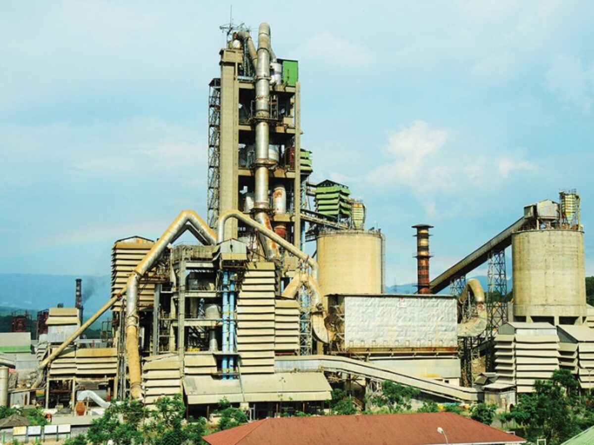
Industrial Infrastructure
Infrastructure Overview
Installed Power Capacity
- ~2,298 MW: Identified capacity for hydro potential
- 344 MW: Total Hydro capacity in operation
- 394.98 MW: Total Installed Capacity (July 2023)
- 377.03 MW: Total Installed Capacity from Public Sector (July 2023)
- 17.95 MW: Total Installed Capacity from Private Sector (July 2023)

Infrastructure Overview
Telecom Connectivity
- Wireless subscribers: 24.1 lakhs (as of September 2021)
- Internet subscribers: 3.05 crores (as of September 2021)
- Teledensity: 75.09%
- 5G services have begun in selected places in Shillong